Hong Kong authorities have developed an artificial intelligence (AI)-driven flood forecasting and alert system capable of three-dimensional simulations, aimed at enabling more timely pre-emptive measures and emergency responses to flooding.
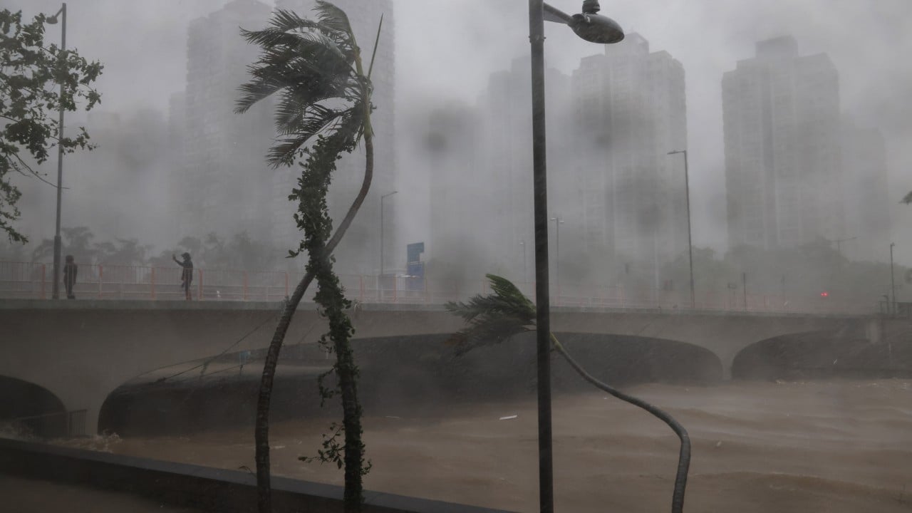
The technology is the latest addition to the existing territory-wide flood risk visualisation system, which was deployed during Super Typhoon Ragasa last year.
“This is to foster Hong Kong as a future-facing and climate-resilient city,” Ringo Mok Wing-cheong, director of the Drainage Services Department, said.
The new model, a collaborative effort between the department and Guangzhou-based South China University of Technology, integrates big data analysis with AI to simulate flooding in 3D.
By training the model with various data sets, including meteorological statistics for nowcasting rainfall and tides, it can generate real-time flood simulations and illustrate how flooding evolves dynamically in three dimensions.
This will in turn support the department in planning ahead for emergency responses to potential flooding.
The chief engineer of the department’s land drainage division, Esther Yuen Ka-wai, said the new model marked a step forward from the existing visualisation system, which uses hydraulic models to provide static flood risk maps.
Yuen added that the model would be deployed across three catchments – Lam Tsuen River in Tai Po, Wan Chai, and Tsui Ping River in Kwun Tong – to enable the department to analyse potential flooding scenarios in these areas and plan preventive measures.
Separately, a smart drainage map integrating data from the department, the Hong Kong Observatory, Lands Department and Transport Department will be introduced and consolidated on a single government platform. The map will allow policymakers to view flooding incidents and the distribution of emergency response teams at a glance, but will not be available to the public.
There were 114 cases of flooding last year.
Yuen said the department was working with the Highways Department to strengthen inspection, drainage clearance and installing additional catchpits as half of the flooding cases last year were caused by clogged road drainage.
As for the severe flooding at King Yin Lane in Tseung Kwan O last August, authorities have improved intake structures to prevent floodwater from surging into roadside car parks and have also installed CCTV cameras to facilitate monitoring.
Yuen added that the government had compiled a list of flood-prone locations, which would be uploaded to its website to give residents access to the latest information.
Last year, a total of five black rainstorm warnings were issued, the highest number since the warning system was introduced in 1992.
Two No 10 signals were issued, including for Super Typhoon Ragasa.
Mok said four to seven tropical cyclones were expected to approach Hong Kong this year, bringing risks of heavy rain and localised downpours.